CURRENT NEWS ISSUES
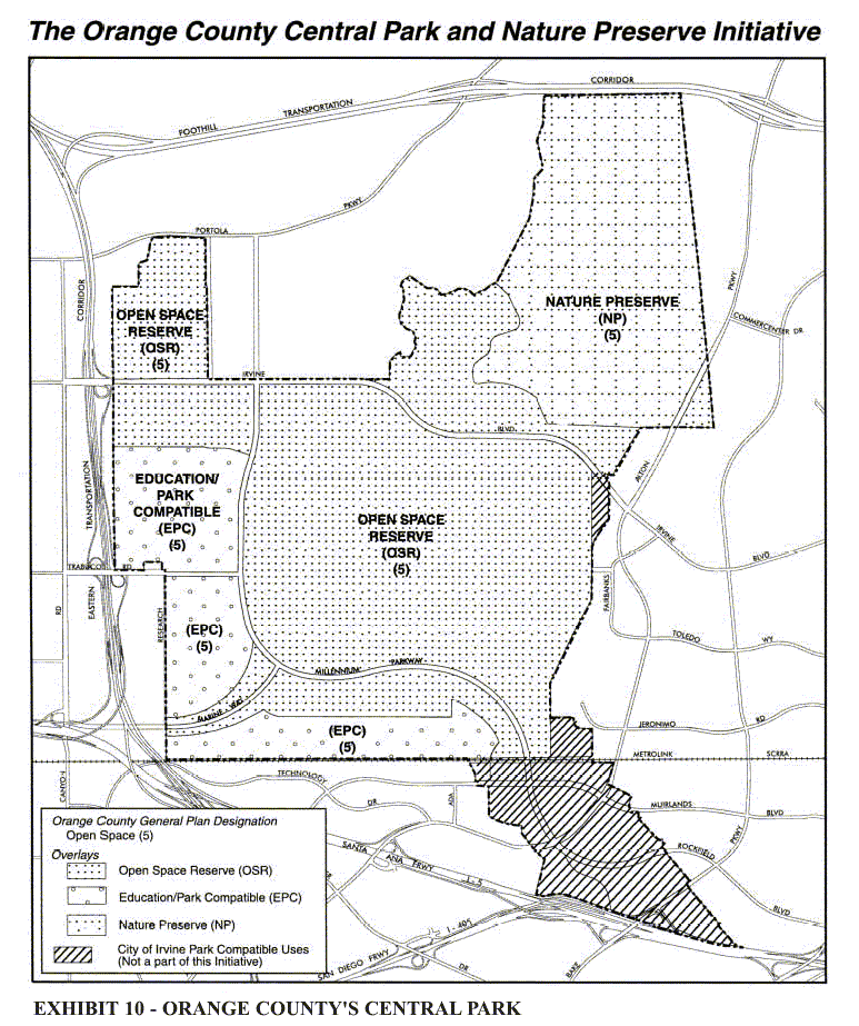
Maps of the evolving non-aviation reuse plans for El Toro.
Irvine concept map. Potential land uses in the Great Park - April 19, 2001
Land use map from Measure W - adopted March 5, 2002
First Irvine proposal responding to the Navy's decision to parcel the base for sale - April 17, 2002
Revised
Irvine-Navy plan - July 23, 2002
Four parcel maps for land auction - January 28, 2003
parcel 1
parcel 2
parcel 3
parcel 4
Ownership - Maps of who controls what acreage -
September 28, 2005
Overall breakdown of ownerships
City of Irvine including the park
Great
Park Corp property
Private
property
Public
agencies - FAA and County